
Want buyers to feel the lake breeze before they ever book a showing? On Lake Wawasee, the right visuals do the heavy lifting online by showing water access, dock condition, and the view that makes a lake home special. As the largest natural lake wholly in Indiana, Lake Wawasee draws local and out-of-area buyers who shop by photos, aerials, and 3D tours first. In this guide, you’ll learn which visuals work best in Syracuse, how to capture them safely, and a simple plan to roll it out. Let’s dive in.
Why visuals sell Wawasee homes
Lake buyers want proof of lifestyle: shoreline, dock layout, and how the home sits on the water. National research shows buyers rank high-quality photos and interactive media among the most useful listing features during search, with virtual tours and floor plans driving stronger engagement on portals (NAR 2024 Profile). Zillow has reported that listings with an interactive floor plan or 3D tour can see sizable lifts in views and saves compared to similar listings without them (portal data summarized here). On Wawasee, clear visuals that show dock access, shoreline condition, and water views help attract qualified, often out-of-market buyers, supported by active local groups like the Wawasee Property Owners Association.
Best visuals for lakefront listings
Pro photography that wins the click
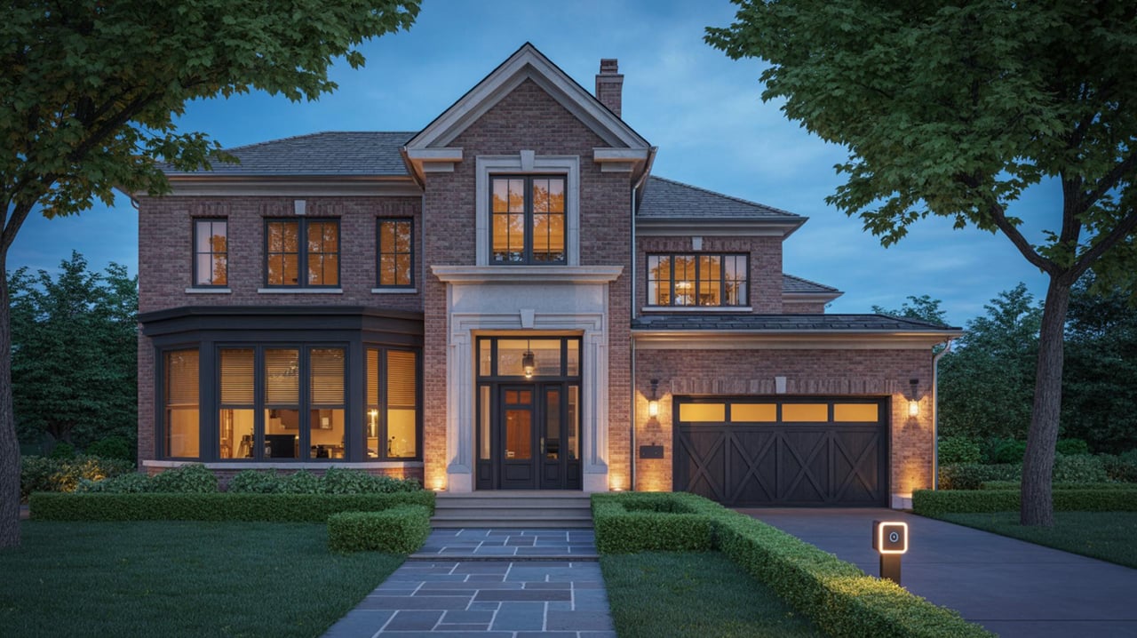
Your lead image should highlight the lake and the home in one frame. Use wide exterior shots to show orientation to the water, plus detail images of the dock, seawall, and lift. Twilight exteriors are especially effective on waterfronts. Photos remain the single most important element buyers use during online search (NAR guidance).
Drone aerials that tell the story
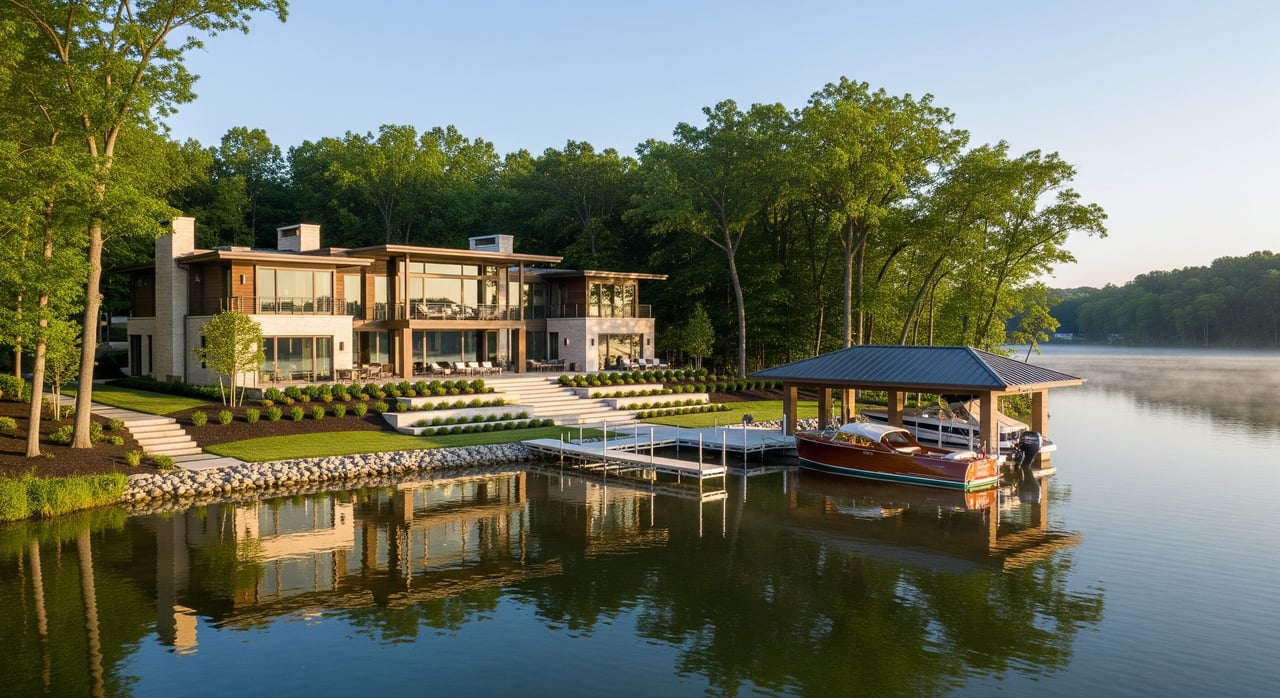
Aerial photos and short clips reveal shoreline length, dock layout, lot depth, and neighbor spacing. Typical must-haves include a top-down property map shot, shoreline fly-by, and a slow approach from the water to the home. On Wawasee, aerials also show channels, marinas, and nearby islands that matter to boaters.
Boat-based views buyers trust
Low-angle shots from the water show what you cannot see from land: the façade from lakeside, waterline elevation, and step-in access at the dock. Coordinate a safe launch and plan your route for calm water. Local groups and marinas can be helpful resources on launch points and safety, including the WPOA’s lake-patrol presence and ramp resources.
3D tours and interactive floor plans
3D walkthroughs let remote buyers judge scale and flow from their phones. Listings with interactive floor plans and 3D tours often see more views, saves, and shares on major portals, which can translate to more qualified showings (industry data). For larger or luxury homes, platforms like Matterport also produce accurate floor plans and measurements.
Short walkthrough and lifestyle clips
A 15 to 30 second agent-hosted clip can highlight proximity to marinas, the main channel, or seasonal events. Keep it simple, steady, and focused on the benefits buyers care about: access, views, and convenience to Syracuse amenities.
Legal and safety must-knows
FAA Part 107 drone basics
If you hire aerial work, the operator should hold a current FAA Part 107 remote pilot certificate, fly within visual line of sight, stay at or below 400 feet AGL, and comply with daylight or night-flight rules. Drones used commercially must be Remote ID compliant. Always check for airspace authorizations and TFRs before flight (FAA Part 107 rules, Remote ID, TFRs).
Airspace near Syracuse
Plan ahead around local airspace and authorizations. Warsaw Municipal Airport is the nearest general-aviation field in Kosciusko County, so drone pilots should check for any controlled airspace and use LAANC where required (airport context).
Privacy and over-people rules
Even where flight is allowed, operations directly over people are limited unless specific criteria are met. Get written permission from the seller, stay clear of neighboring private activities, and be mindful of crowded docks and beaches (FAA guidance).
Boat rules and shoreline work
Indiana applies idle-speed limits near shorelines and enforces the Lake Preservation Act for work lakeward of the legal shoreline. If your listing highlights newer docks, lifts, or seawall work, confirm whether a general license or permit applies and disclose accordingly (DNR exemptions and permits).
Invasive species precautions
If you launch by boat, plan to clean, drain, and use local pump-and-dump resources to prevent spreading aquatic invasive species. Wawasee groups help maintain ramp resources that make this easy (local resources).
Permissions and insurance
Before any shoot, confirm the vendor’s insurance, FAA credentials, and Remote ID compliance. Get written property consent and any marina or ramp permissions needed for launch (FAA commercial operators overview).
Wawasee production game plan
Pre-shoot checklist
- Confirm forecast, sunrise and sunset, and wind. Aim for golden hour and calm water.
- Get written permissions from the seller and any neighbors likely to be in-frame.
- Verify FAA Part 107 credentials and Remote ID compliance for drone work.
- Check airspace, LAANC, and TFRs the day of the shoot.
- Plan boat launch, parking, and safety gear. Use pump-and-dump and clean equipment.
Shot list that wins clicks
- Hero twilight exterior that shows the home and the lake together.
- Aerials mapping shoreline, dock footprint, lot depth, and approach routes.
- Waterline images of the dock, lift, seawall, and step-in access.
- Full-home 3D tour with an interactive floor plan and synced stills.
- Short social-ready clip that highlights access to marinas and channels.
Timing and seasons
Late spring through early fall gives peak foliage and active lake scenes. Summer mornings often provide calm water and fewer boats. Winter views can still work for seasonal messaging but draw less interest for water-use features.
Launch points and support
Coordinate with local marinas for launch and parking, and confirm any rules in advance. Lake Wawasee’s marinas and channels are well known to local boaters and can help plan safe routes for photography (lake overview).
Deliverables and MLS integration
Request high-resolution photos, aerial stills and video clips, a 3D tour link with downloadable floor plan, and a 15 to 30 second social cut. Confirm your MLS virtual tour fields display correctly and that all media accurately represents the property.
Seller tips to maximize impact
- Stage for the camera: clear surfaces, open blinds to frame the water, and remove dock clutter.
- Lead with the lake: make your hero image and first three gallery photos lake-forward.
- Pair 3D with a floor plan: buyers rely on both to judge fit and flow.
- Keep captions useful: call out dock depth, lift count, and distance from door to shore when known.
- Avoid overpromising: engagement lifts are common with 3D and floor plans, but pricing, condition, and strategy set outcomes.
Ready to package your Syracuse lake home with drone, boat, and 3D so buyers feel the Wawasee lifestyle online? Our team blends polished media with a clear go-to-market plan so you move quickly and confidently. For a custom listing strategy, reach out to Lion Heart Realty Group.
FAQs
What visuals matter most for Lake Wawasee listings?
- High-quality photos, drone aerials, boat-based dock views, and a 3D tour with an interactive floor plan are the core package buyers find most useful, supported by national research on buyer behavior (NAR 2024 Profile).
Are drone flights over Lake Wawasee legal for listings?
- Yes, with an FAA Part 107 pilot who flies within rules, uses Remote ID, and checks airspace and TFRs; get property-owner consent and avoid flying over people (FAA Part 107 rules).
Do 3D tours really increase buyer interest?
- Industry and portal data show listings with interactive floor plans and 3D tours often see higher views and saves than those without, which can lead to more qualified showings (overview of portal data).
Do I need permits for docks or shoreline work shown in photos?
- Some structures and lakeward work fall under Indiana’s Lake Preservation Act; many have general licenses, but larger projects may require permits, so confirm details and disclose as needed (DNR exemptions).
What safety steps should we take for boat-based shoots?
- Use a safe vessel with life jackets, launch with marina permission, plan a calm-water route, and follow clean, drain, and pump-and-dump practices to protect the lake (local ramp resources).
